Last 17 May 2018, an RTD on Land Data in the Philippines was held at the Partnership Center in Quezon City. The event is part of an ongoing initiative of ANGOC, with the support of the International Land Coalition (ILC) on Sustainable, Reliable and Transparent Data and Information towards Responsible Land Governance. The initiative attempts to put into action the ILC’s People-Centered Land Governance Commitment (PCLG) #8, on ensuring transparency and accountability, through unhindered and timely public access to all information that may contribute to informed public debate and decision-making on land issues at all stages, and through decentralization to the lowest effective level, to facilitate participation, accountability and the identification of locally appropriate solutions.
Asian states, namely: Bangladesh, Cambodia, India, Indonesia, Kyrgyzstan, Nepal, Pakistan, and the Philippines, are jointly implementing this initiative in their respective countries. One of the outputs of this initiative is to engage National Statistics Offices (NSOs) of said Asian countries, and to conduct a scoping study on the availability of land data in relation to the Sustainable Development Goals (SDGs) Indicator 1.4.2 on tenure security:
“proportion of total adult population with secure tenure rights to land, with legally recognized documentation, and who perceive their rights to land as secure, by sex and type of tenure.”
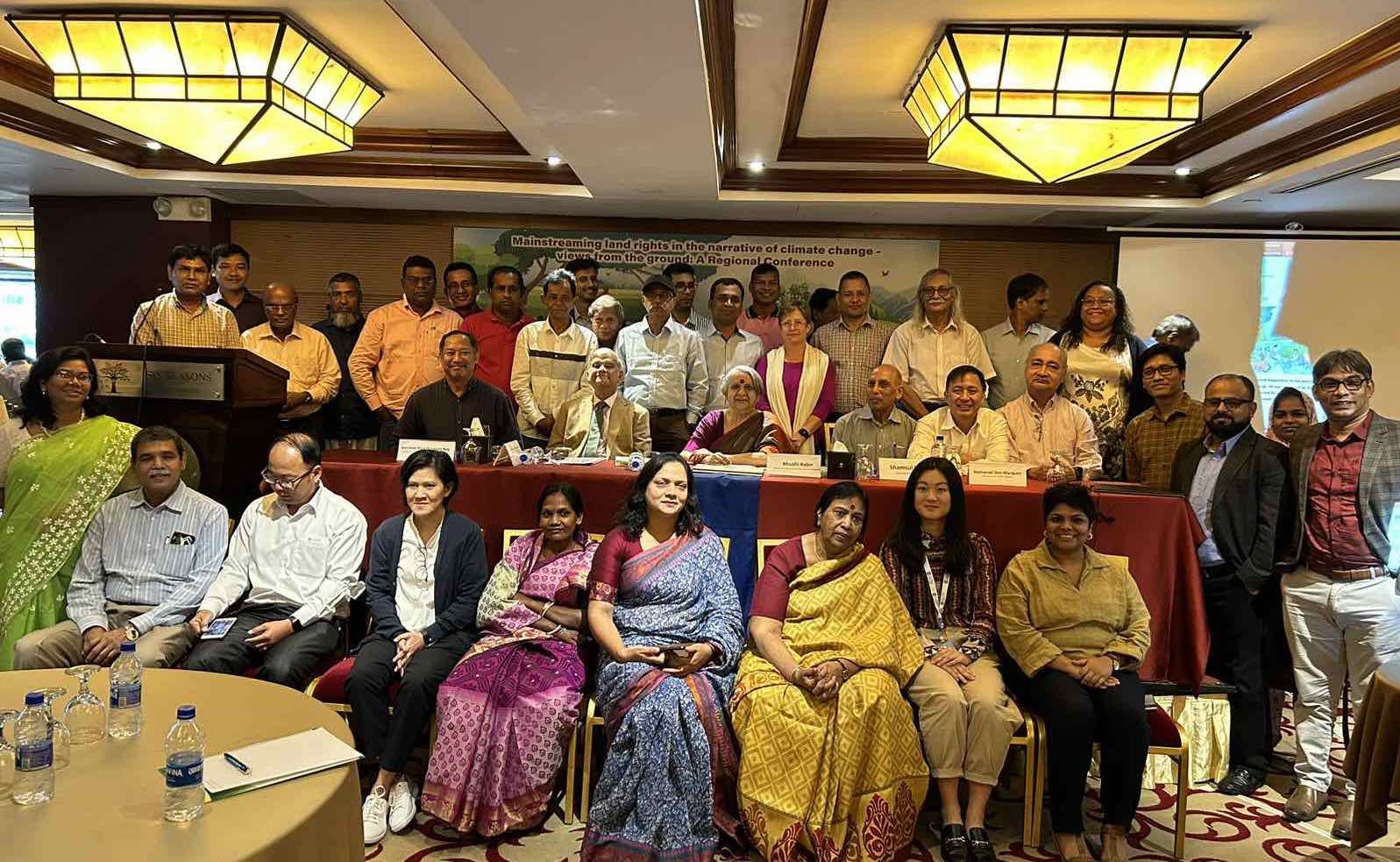
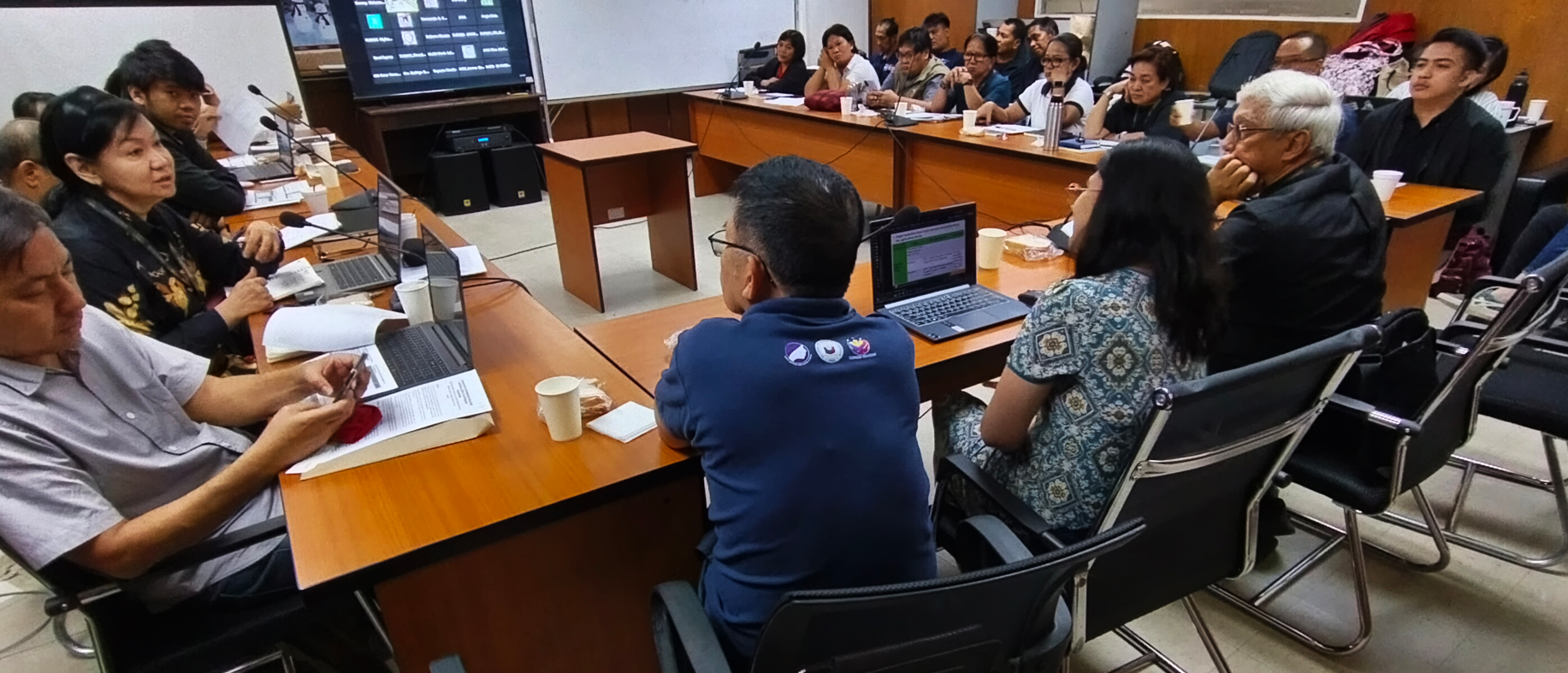
ANGOC presented the results of its scoping study on land data in the Philippines, in the context of SDG indicator 1.4.2. The RTD was participated by representatives from civil society organizations (CSOs), namely: Pambansang Kilusan ng mga Samahang Magsasaka (PAKISAMA), Center for Agrarian Reform and Rural Development (CARRD), Kaisahan, Philippine Association for Intercultural Development (PAFID), and We Effect; and the Food and Agriculture Organization of the United Nations (FAO).
Don Marquez of ANGOC presented a short overview of the Commitment Based Initiative 8 Project: Transparent Access to Information (CBI 8: CO-TRAIN). The CO-TRAIN project is currently conducted in the 8 Asian countries mentioned, running from 30 October 2017 to 31 December 2018. The project was initiated in recognition of the need for a trustable land information system and for the adoption of the SDGs, which provides policy impetus for the improved responsiveness of land governance.
The CO-TRAIN Project builds on the gains from previous initiatives of ANGOC and Land Watch Asia (LWA). Its objectives are: to initiate CSO engagement with NSOs in the framework of the SDGs; to undertake LWA Country Monitoring on access to land and tenurial security in support of policy work; and, to convene and facilitate the work of the CBI #8 Working Group.
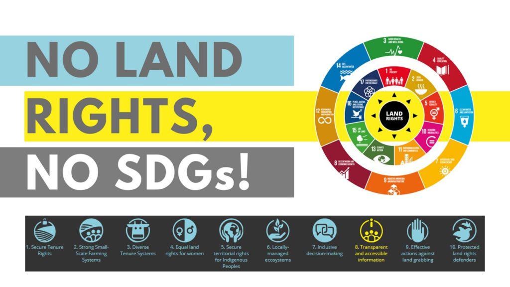
Mr. Timothy Salomon of ANGOC presented the Philippines’ paper entitled Land Data and its Governance in the Philippines: A Scoping Paper on the Philippine Statistics System (PSS) in the Context of SDG Indicator 1.4.2. The SDGs have been adopted by countries around the world as a universal call to end poverty, protect the planet, and ensure peace and prosperity for all by 2030. Goal 1 of the SDGs calls to end poverty in all its forms and recognizes that securing land and property rights is crucial in achieving this goal.
Per the UN General Assembly Resolution 70/1, NSOs are mandated to generate data on national level indicators. In the country, the Philippine Statistics Authority (PSA) is responsible for this.
Mr. Salomon discussed the global definition of “secure tenure,” which came from the Voluntary Guidelines for Responsible Governance of Tenure over Land, Fisheries, and Forests in the Context of National Food Security (VGGT), adopted by UN-Habitat and World Bank. Tenure is said to be secure, when there is: (1) legally recognized documentation and (2) the landholder has an optimistic perception of tenure security over the land. Perception of tenure security is further broken down to an individual’s perception of the likelihood of involuntary loss of land regardless of the formal status and can be more optimistic or pessimistic and reports that s/he has the right to bequeath land/property.
The PSA attempted to provide baseline information on the SDGs through its “SDG Watch” reporting initiative. As a proxy indicator to measure SDG indicator 1.4.2, the PSA used housing tenure data from the 2016 Annual Poverty Indicators Survey (APIS). PSA reported that as of 2016, 97% of Filipino families have access to “secure tenure.” However, their definition of “secure tenure” did not refer to either of the global definitions and there is no localized version for the term. The data is inherently limited, as the extent of use, control, and transfer rights cannot be recognized from mere categories of house ownership. If families with full ownership rights to their house and lot will be culled out, 2014 data reveals that families that are most likely to have secure tenure will account for only 62.9% of the total household population .
On agricultural lands, PSA’s data collection methods inquire only on the tenure status of families with farms. Results showed that in year 2012, 60.0% of families most likely have secure tenure over farmlands. There is a discrepancy with the results of the baseline survey conducted by PAKISAMA. The survey showed that out of 2000 farmers nationwide, around 80% of farmers are landless.
Given these realities, it was realized that there is a need to localize the global definitions from UN Habitat, World Bank, VGGT, and the Continuum of Land Rights. This would contribute to the development of a methodology for monitoring and reporting land data that is practicable and useful for the Philippine context.
Another data gathering method identified by the custodians of SDG Indicator 1.4.2 was to consolidate data from land agencies in the country that issue tenurial and resource use/management instruments. However, these instruments overlap.
These overlaps served as the impetus for the issuance of the Joint DAR-DENR-LRA-NCIP Administrative Order 1 of 2012 (JAO 1). The JAO 1 aimed to remedy the overlaps yet only led to further delays in titling, deeper policy conflicts among agencies, and violent conflicts on the ground. It is also difficult to consolidate agency data, given that each agency follows their own format and has different data collection methods.
Nonetheless, it is in the legal mandate of the PSA to consolidate data from agencies. One such readily available mechanism is the inter-agency committees (IACs), particularly the IAC on Environment and Natural Resources Statistics (ENRS), which includes land agencies, led by the DENR and coordinated by the PSA.
The PSA invited ANGOC to participate in the localization process for indicator 1.4.2., after the scoping paper was presented to them last 17 April, 2018. Localization may be done through a meeting with the Technical Working Group on Land and Soil Resources (TWG-LSRS), headed by the Statistics and Data Resources Management Division (SDRMD) of the Department of Environment and Natural Resources (DENR), with its secretariat, the Environment and Natural Resources Accounts Division (ENRAD) of the PSA. After the TWG, an Inter-Agency Committee meeting under the PSA board will be convened, for the official adoption of the definition and methodology.
In terms of transparency of the agencies holding land data, PSA and NCIP adhere to the Freedom of Information Policy. However, the data from DAR, LRA and DENR are variably available to the public. There are fees for some types of data to be accessed.
The Executive Director of PAFID, Mr. Dave De Vera, shared that a TWG on data sharing on maps, has recently been expanded. The representatives of agencies with land data, shared the status of the accessibility of their data. Housing and Land Use Regulatory Board (HLURB) stated that they are willing to share data but it is not possible yet, as they need permission from the concerned local government units to share data from their Ecological Profiles as part of the Comprehensive Land Use Plans (CLUPs). Within DENR, Mines and Geosciences Bureau (MGB) hesitates on sharing their data. MGB needs permission from the Mining Industry Coordinating Council (MICC) before data can be released.
The format of the agencies’ data is also a problem. Most of the attendees mentioned that what they currently have are analog data or hard copies.
Don Marquez of ANGOC, emphasized that the Philippines is the first among the countries involved in the CBI 8 project to have the opportunity to define tenurial security with an NSO. He endorsed that CSOs should continue to engage the PSA on their activities, to further build confidence and trust between them and CSOs, to enable constructive engagement towards improving information on land in the PSS.
By: Bianca Ragas